‘West Philippine Sea’ Gains Visibility on Google Maps After Long Overlooked Status


‘West Philippine Sea’ Gains Visibility on Google Maps
Introduction
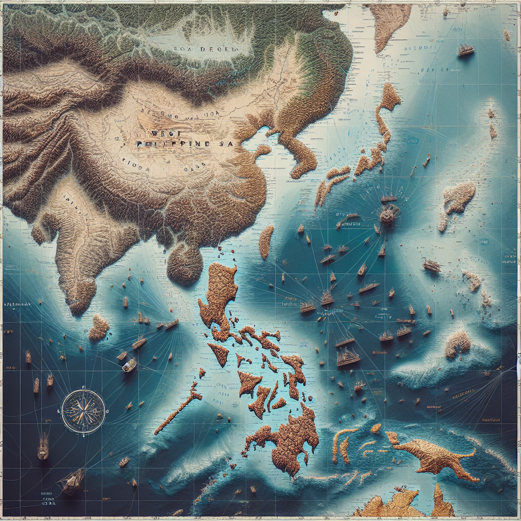
The term “West Philippine Sea” has recently gained significant visibility on Google Maps, marking a notable shift in the digital representation of this geopolitically sensitive area. This change reflects ongoing territorial discussions and highlights the importance of digital platforms in international relations.
Background
The West Philippine Sea is a part of the South China Sea that the Philippines claims as part of its exclusive economic zone. Historically, this area has been a point of contention among several countries due to its strategic location and rich natural resources.


Key Developments
- Increased Recognition: The inclusion of the “West Philippine Sea” label on Google Maps signifies increased recognition of the Philippines’ territorial claims.
- Geopolitical Implications: This update may influence diplomatic relations and discussions regarding territorial rights in the region.
- Public Awareness: The change enhances public awareness and understanding of the geopolitical dynamics in the South China Sea.
Implications for Stakeholders
The update on Google Maps has several implications for different stakeholders:

- Philippines: Strengthens the country’s stance on its territorial claims and boosts national pride.
- Neighboring Countries: May prompt reactions from other nations with competing claims in the South China Sea.
- Global Audience: Provides a more nuanced understanding of the region’s geopolitical landscape.
Conclusion
The addition of the “West Philippine Sea” label on Google Maps is a significant development in the digital representation of geopolitical territories. It underscores the role of technology in shaping public perception and international discourse. As digital platforms continue to evolve, their impact on global geopolitics is likely to grow, making such updates crucial in understanding and navigating international relations.