Russia-Ukraine Conflict: A Three-Year Journey Through Satellite Imagery


Russia-Ukraine Conflict: A Three-Year Journey Through Satellite Imagery
Introduction
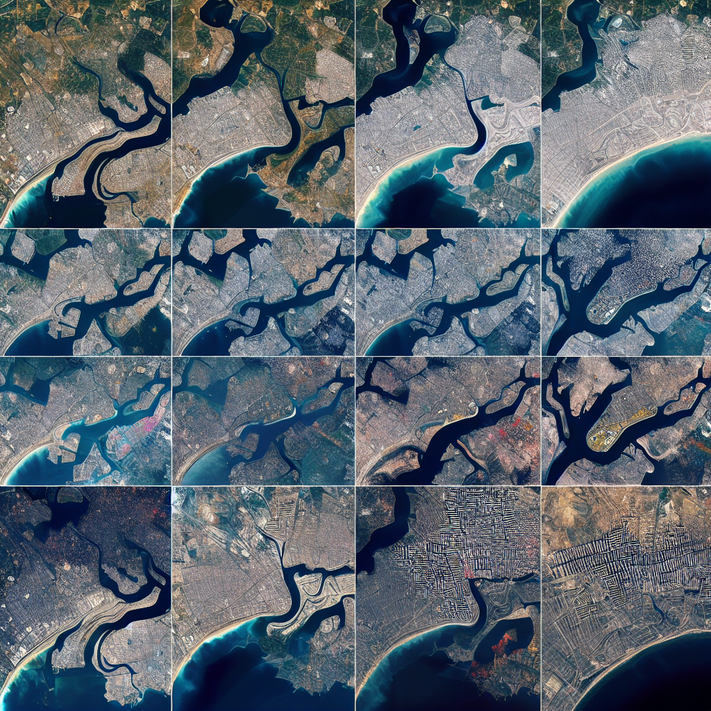
The ongoing conflict between Russia and Ukraine has been a focal point of international attention. Over the past three years, satellite imagery has played a crucial role in documenting the developments and providing insights into the situation on the ground. This summary explores the key findings and implications of satellite data in understanding the conflict.
Key Developments Captured by Satellite Imagery
- Military Movements: Satellite images have revealed significant troop deployments and movements along the Russia-Ukraine border, offering a clear picture of military strategies and escalations.
- Infrastructure Damage: The imagery has documented extensive damage to infrastructure, including bridges, roads, and buildings, highlighting the conflict’s impact on civilian life.
- Humanitarian Crisis: Satellite data has been instrumental in identifying refugee movements and the establishment of temporary shelters, providing a visual representation of the humanitarian crisis.
Technological Advancements in Satellite Imagery
Advancements in satellite technology have enhanced the ability to monitor the conflict with greater precision and frequency. High-resolution images and real-time data have allowed for more accurate assessments and timely responses from the international community.


Implications for International Relations
The use of satellite imagery has not only informed military and humanitarian strategies but also influenced diplomatic discussions. The visual evidence provided by these images has been pivotal in shaping international perceptions and responses to the conflict.

Conclusion
Satellite imagery has been an invaluable tool in documenting the Russia-Ukraine conflict over the past three years. By capturing military movements, infrastructure damage, and humanitarian crises, these images have provided critical insights into the ongoing situation. As technology continues to advance, satellite data will remain a key resource in understanding and addressing global conflicts.