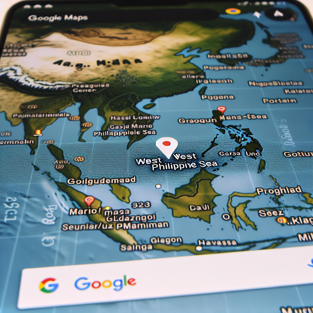
‘West Philippine Sea’ Gains Visibility on Google Maps After Being Overlooked


‘West Philippine Sea’ Gains Visibility on Google Maps After Being Overlooked
Introduction
The term “West Philippine Sea” has recently gained prominence on Google Maps, marking a significant shift in digital cartography. This change comes after years of the area being overlooked, reflecting geopolitical tensions and national identity assertions.
Background
The West Philippine Sea is a part of the South China Sea that the Philippines claims as its own. The naming of this area has been a point of contention, particularly with China, which has overlapping claims.


Key Developments
- Increased Visibility: Google Maps now prominently displays the “West Philippine Sea,” aligning with the Philippines’ official stance.
- Geopolitical Implications: This update underscores the ongoing territorial disputes in the region, highlighting the Philippines’ efforts to assert its sovereignty.
- Public and Governmental Response: The change has been met with approval from the Philippine government and citizens, who view it as a validation of their territorial claims.
Impact on Digital Cartography
This update on Google Maps is a testament to the influence of digital platforms in shaping public perception and international discourse. It reflects a growing trend where digital maps are not just tools for navigation but also instruments of political expression.

Conclusion
The inclusion of the “West Philippine Sea” on Google Maps is more than a cartographic update; it is a reflection of the complex geopolitical landscape in Southeast Asia. This development highlights the power of digital platforms in acknowledging and potentially influencing territorial claims and national identities.